
MAPS
Data from the first OS Maps of the Isle of Man 1867-1870
![]()
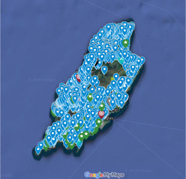
Wells & Springs
This map details the many Wells and Springs that were here in the late 1860s. The entries were taken from the first OS maps. A proportion of the wells are now gone due to development, the introduction of mains water and neglect, but some do survive and are waiting to be visited and perhaps even rediscovered. Click on the photo to access it on Google Maps.
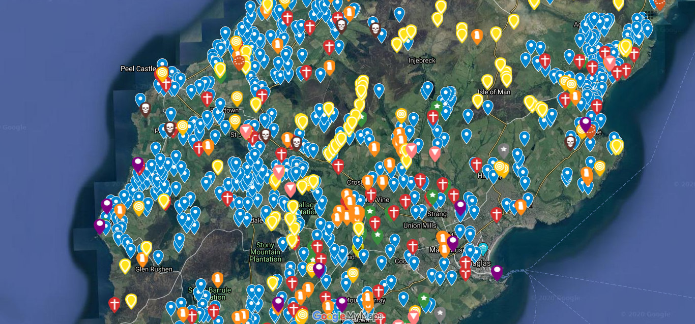
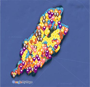
Ancient & Historic Sites
This map details the many Chapels, Keeills, Churches, Tumuli, Cairns, Stones, Circles, Cists, Urns, Burial Grounds, Mounds, Forts, Camps, Wells and Springs that either still survived or were known about in the late 1860s. The entries were taken from the first OS maps. Like the wells, a fair proportion of these sites are gone. Click on the photo to access it on Google Maps.
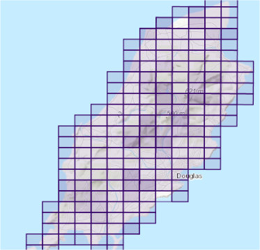
6 Inch OS Map
The first Ordnance Survey of the Island was done in the late 1860s. These maps are the 6 inch ones. Click on the photo to access them on the National Library of Scotland website.
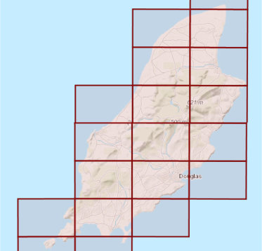
25 Inch OS Map
The first Ordnance Survey of the Island was done in the late 1860s. These maps are the 25 inch ones. Click on the photo to access them on the National Library of Scotland website.
 Isle of Man Wells welcomes the opportunity to visit as many wells and springs as possible, particularly on private land and with the owner’s permission. If you would like to issue an invitation for us to visit a well or spring on your property please