
Well (231) – Cregneash
Information
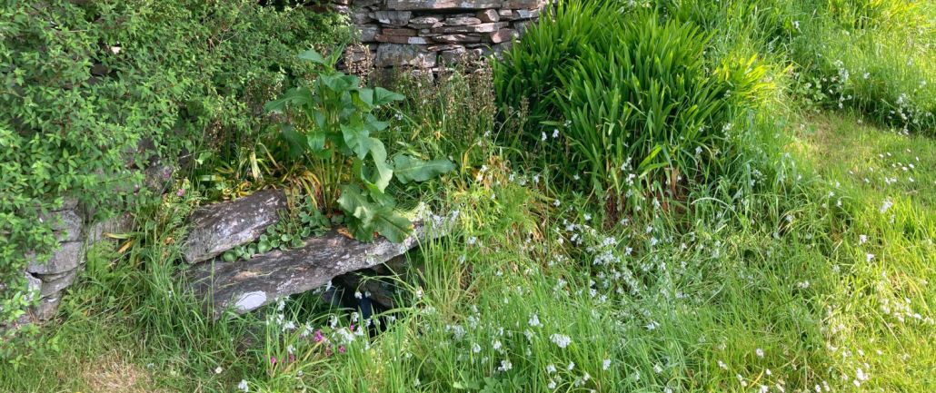
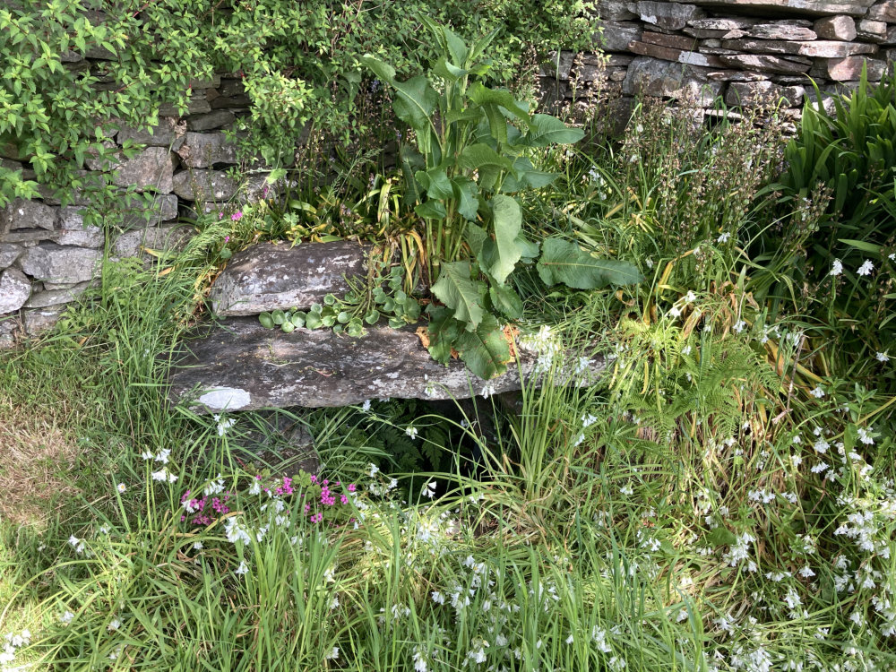
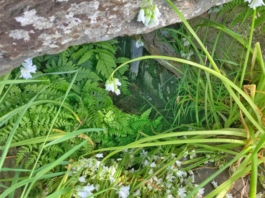
Well, Cregneash village.
Walking down from Ned Beg’s cottage into the village, continue towards the tea rooms at Creg-y-Shee and the well is in an open grassed area on the left, a little before the tea rooms. It abuts a stone wall.
The well does not appear on the first OS Map c.1870 and the area of the well at that time appears to be part of a track that extends up to the main road which is now part of the A31 Sound Road.
Having checked Gill’s list of wells, I do not know which well it may be so if anyone knows I would appreciate if you could tell me.
I have categorised it as a domestic well based on its location and that it may have been a community well for some people in the village.
Thank you to Victoria Dale of Manx National Heritage for showing me the well.
Reference


1983 photograph courtesy of the imuseum; all others by Ber Weyde
Location
It is in the open grassed area behind Creg-y-Shee Tea Rooms.
Access
The well is within Cregneash Village and you can visit the well. If you wish to visit any of the cottages or displays in Cregneash, please see the Manx National Heritage website for opening hours and fees.
Links
NLS OS 6″ Sheet XV Surveyed: 1868, Published: 1870 .
NLS OS 25″ Isle of Man XV.16 Surveyed: 1867, Published: ca. 1870.
Google Maps view.
What3Words: demographics.deeper.avoids. Toggle to satellite view by clicking on globe bottom r/h corner.
Contact
If you have any information on this well please contact me and quote well record number (231) as this will help identify which well you are referring too.
 Isle of Man Wells welcomes the opportunity to visit as many wells and springs as possible, particularly on private land and with the owner’s permission. If you would like to issue an invitation for us to visit a well or spring on your property please