
Well (236) – Ronague
Information
Well, Ronague.
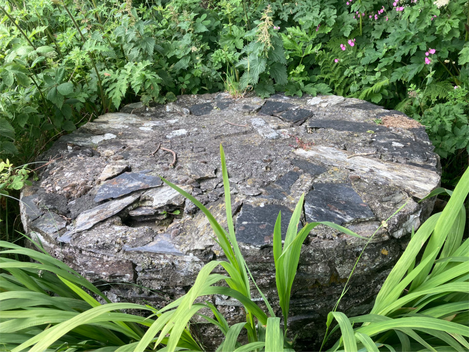
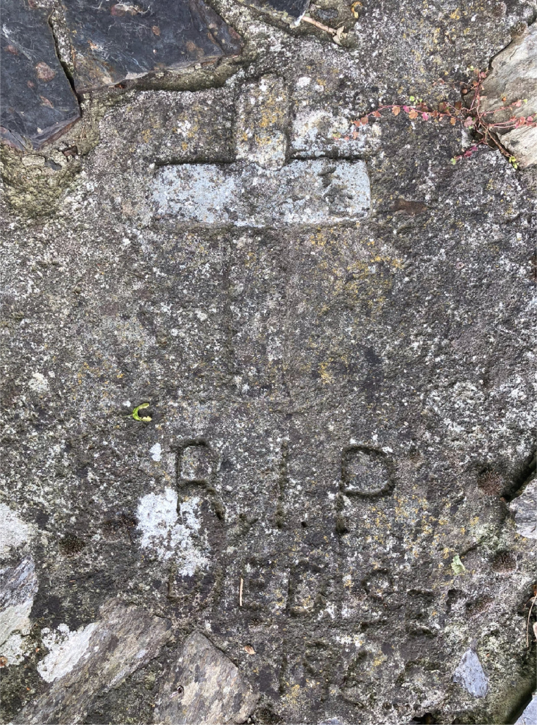
A stone built well that is covered over and sadly, appears to have been the site of a tragedy. There is a cross on the top and R.I.P. can be clearly seen. I suggest the remaining text says: Died Sep 1865 but I am not sure as it is quite faint and difficult to decipher.
The imuseum newspaper section has been searched but so far no record of a drowing at this location has been found though other well drownings have.
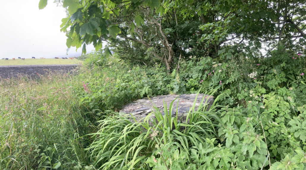
The well is located on the corner of Ronague Road and Corlea Road. It does not appear on either of the first OS maps though there are some buildings indicated on them at this location so probably a cottage and outbuildings.
The well has been listed as a domestic well as this was its likely use.
Thank you to Emilie Moss for telling me about the well and providing its location.
Reference
Photographs by Ber Weyde
Location
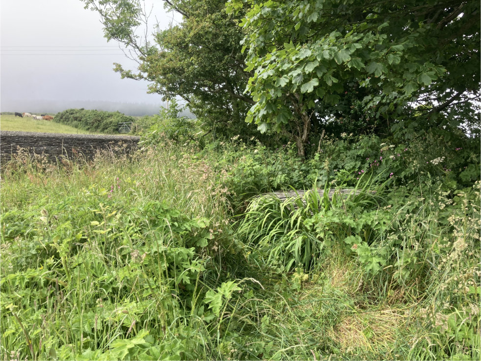
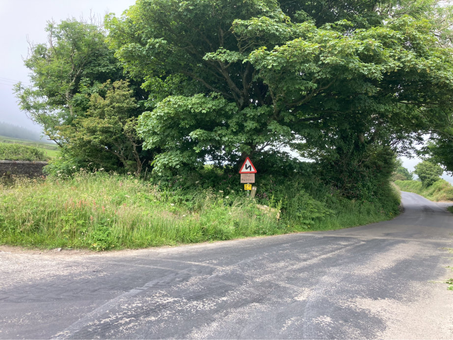
The well is on the corner of Ronague Road and Corlea Road. At the time of visiting (July) it was barely visible from either road due to high grasses. When facing the road sign, it is to the left of it in the photograph below.
Access
The well can be accessed by parking near the post box and walking a few metres to it.
Links
NLS OS 6″ Sheet XVI Surveyed: 1868, Published: 1870 .
NLS OS 25″ Isle of Man XVI.2 Surveyed: 1867, Published: 1868.
Google Maps view.
What3Words: wrangle.soapbox.fells. Toggle to satellite view by clicking on globe bottom r/h corner.
Contact
If you have any information on this well please contact me and quote well record number (236) as this will help identify which well you are referring too.
 Isle of Man Wells welcomes the opportunity to visit as many wells and springs as possible, particularly on private land and with the owner’s permission. If you would like to issue an invitation for us to visit a well or spring on your property please