
Well (232) – Port St Mary
Information
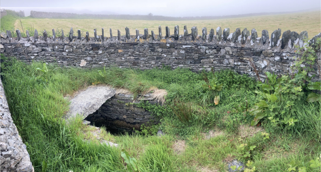
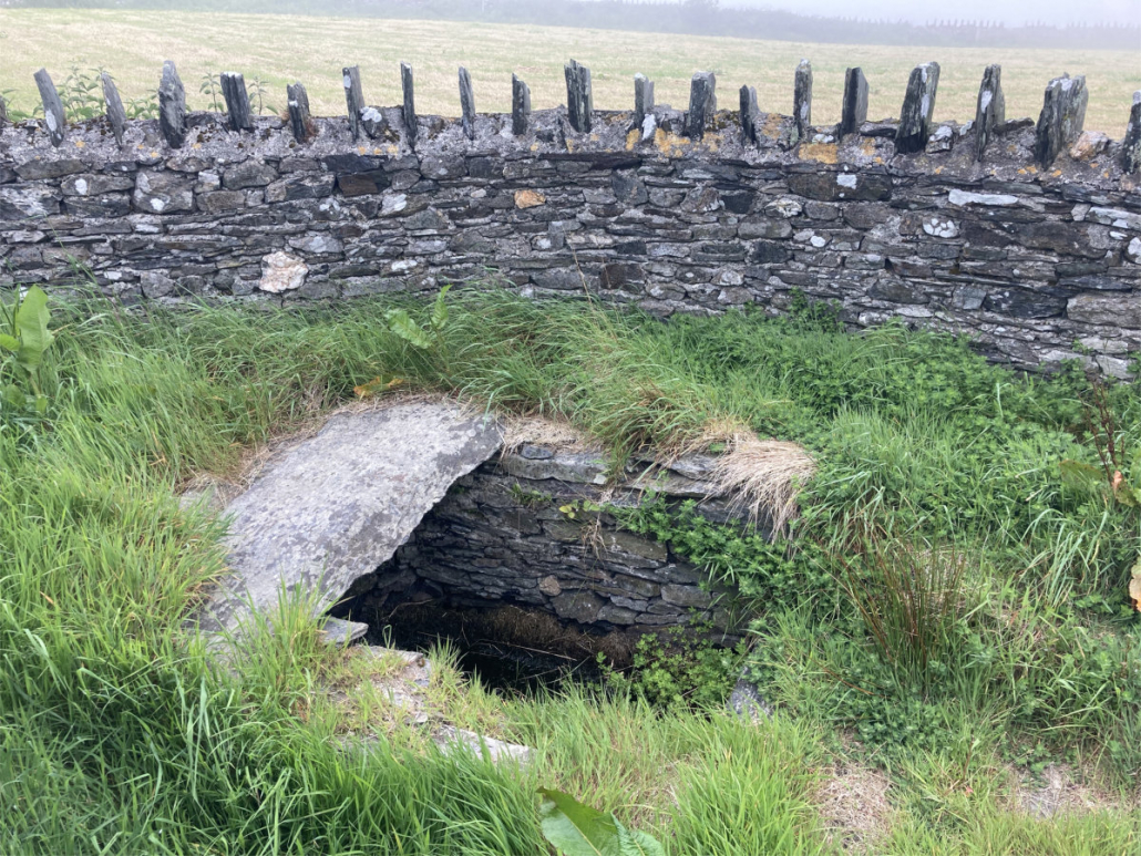
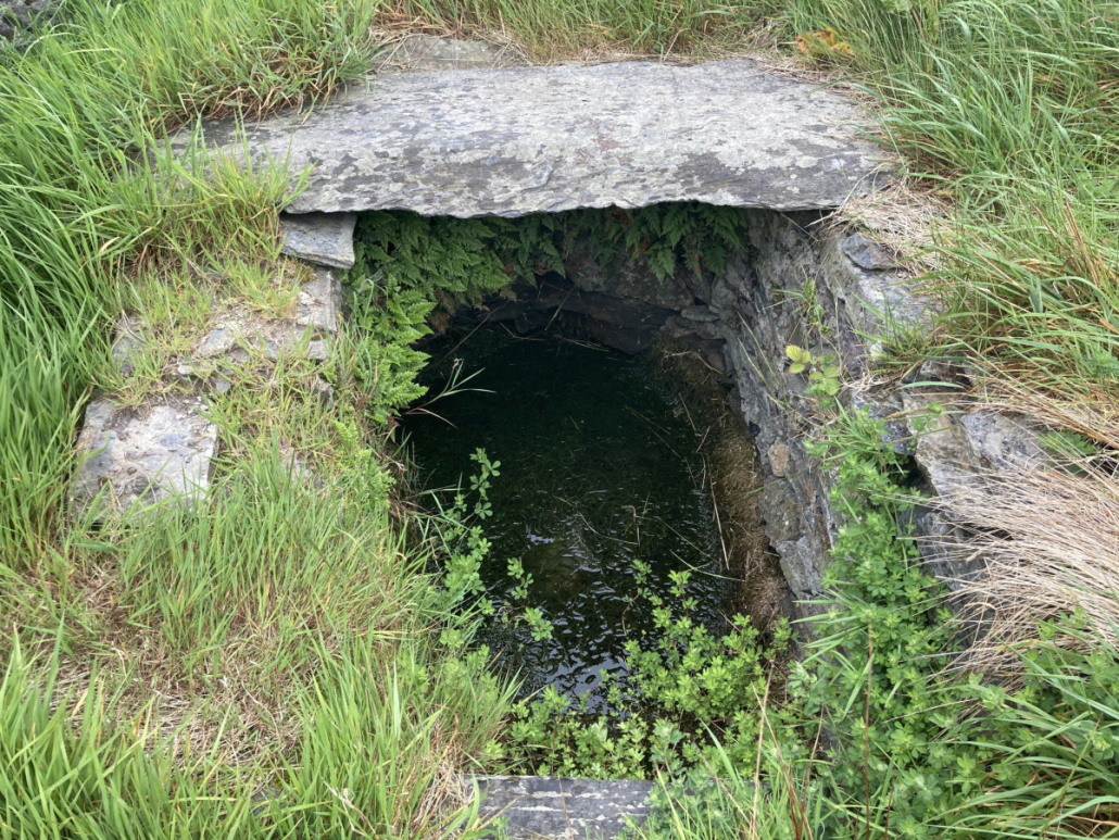
Well, Howe Road, Port St Mary.
A stone built, elongated D-shaped well in a small plot enclosed by a semi-circular stone wall and accessed from the road via a stile.
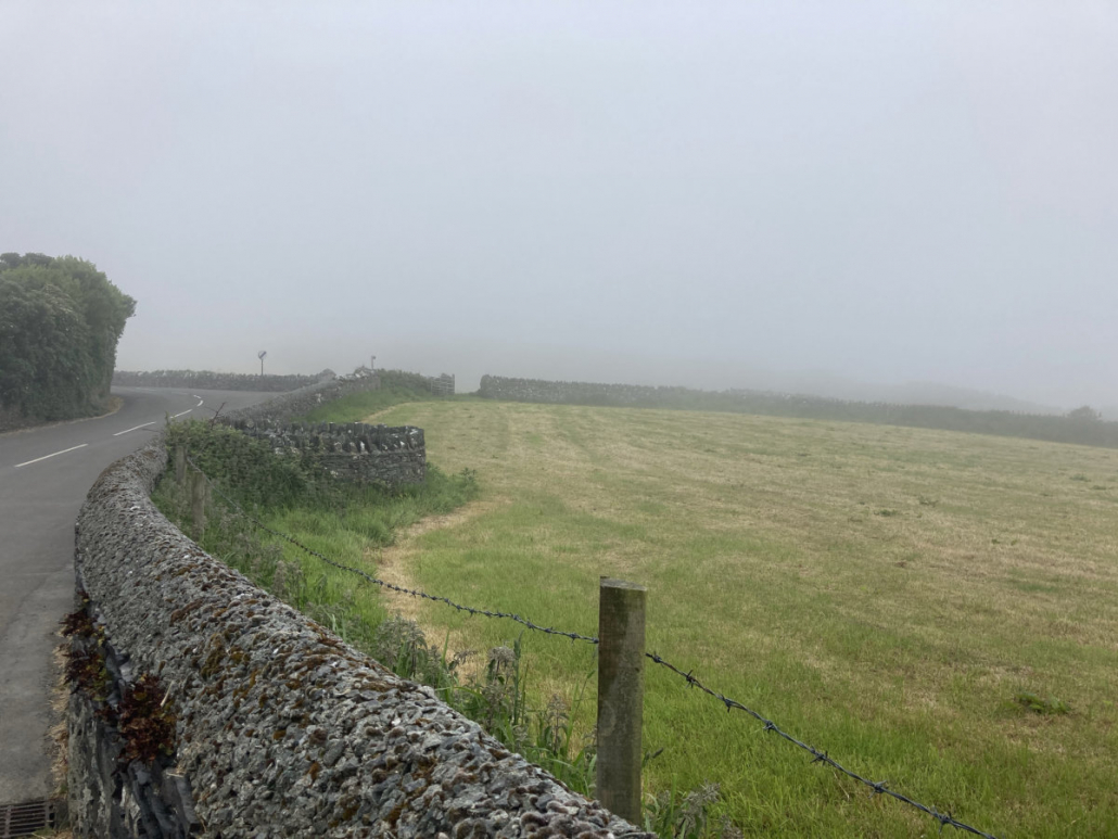
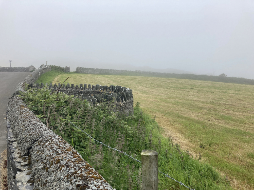
Going up Howe Road, the well can be found on the next bend after the thatched cottage Croym Dty Chione.
The well is on the OS maps published c.1870 but is not enclosed by the stone wall so that must have been built some time later.
W Walter Gill in his first Manx Scrapbook (1929) mentions a Howe Well on the north side of the road as this is. He also mentions an adjacent well but there is no adjacent well indicated on the maps, however, this may have come into existence after the land was surveyed. Further up the Howe there is also a spring and a well. Gill states:
The Howe Well, on the North side of the high road from Cregneish to Corvalley, is the chief source of supply for the neighbourhood. The stream issuing from it flows underground for the first hundred yards or so of its course towards Glen Down. This must be one of the two adjacent roadside wells referred to by Roeder (see page 82), as flowing in opposite directions.
I have listed the well as both a field well and domestic well.
Thank you to Samantha Jayne Miles for telling me about the well.
Reference


Photographs by Ber Weyde
Location
Going up Howe Road, the well can be found on the next bend after the thatched cottage Croym Dty Chione.
Access
The well is easily viewed from the road.
Links
NLS OS 6″ Sheet XV Surveyed: 1868, Published: 1870.
NLS OS 25″ Isle of Man XV.16 Surveyed: 1867, Published: ca. 1870.
Google Maps view.
What3Words: granting.tech.option. Toggle to satellite view by clicking on globe bottom r/h corner.
Contact
If you have any information on this well please contact me and quote well record number (232) as this will help identify which well you are referring too.
 Isle of Man Wells welcomes the opportunity to visit as many wells and springs as possible, particularly on private land and with the owner’s permission. If you would like to issue an invitation for us to visit a well or spring on your property please