
Well (230) – Cregneash
Information
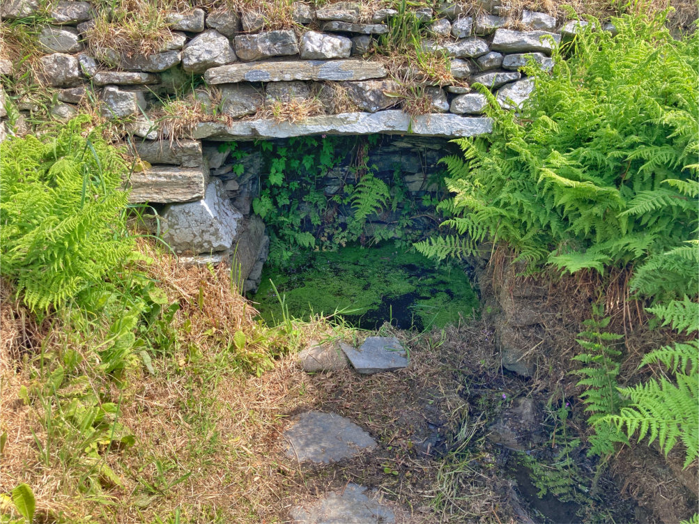
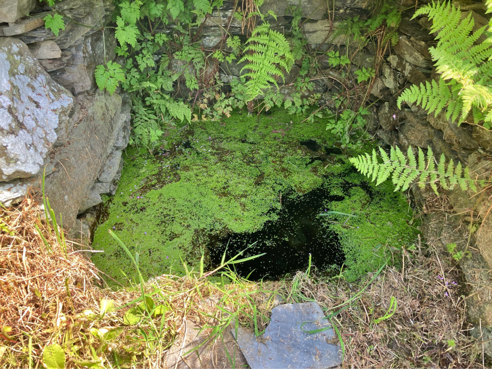
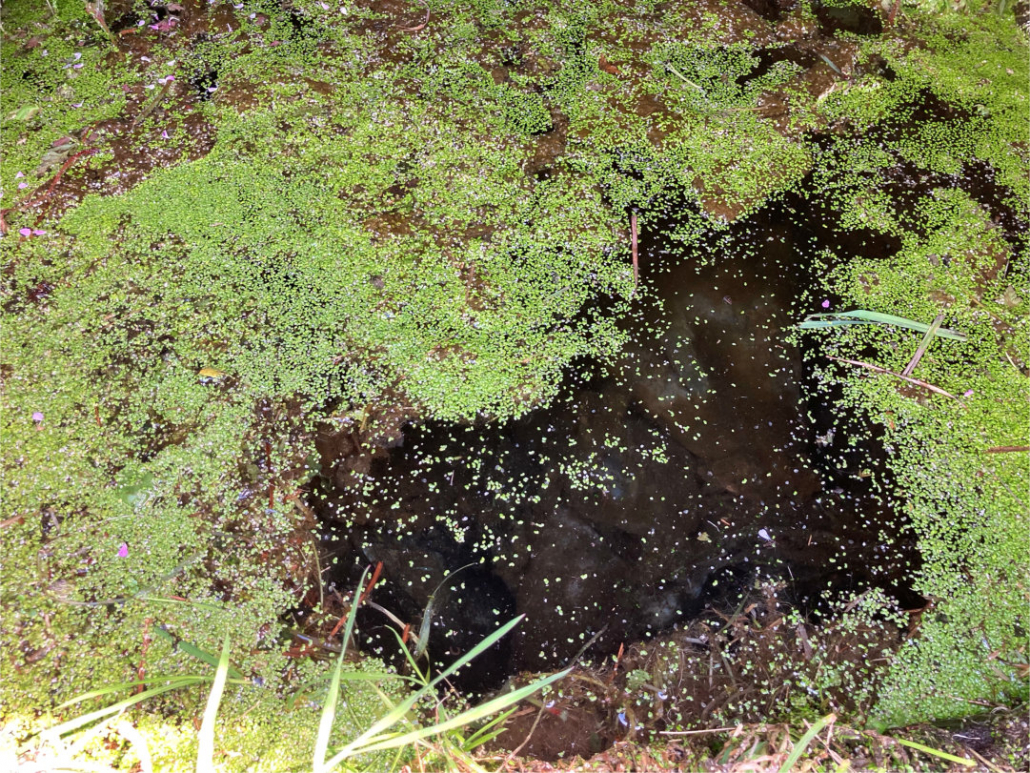
Well, Cregneash village.
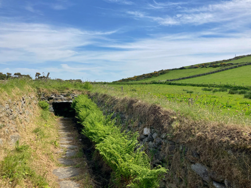
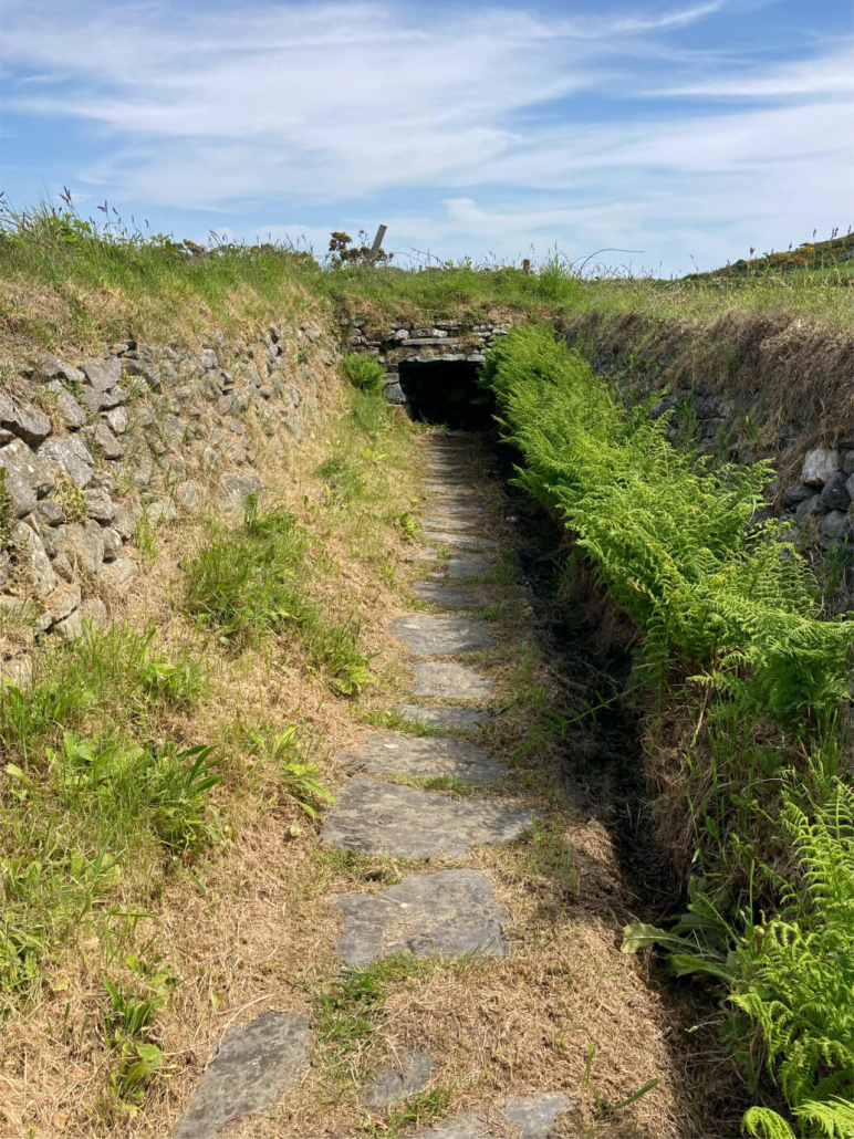
The well is accessed from the road, just past Harry Kelly’s cottage. It is on the left-hand side and lies at the end of a stone-walled enclosure that you enter by climbing over an impressive stone stile.
When I visited I was informed it had recently been cleaned and though some duckweed is evident, the water was clear. A water channel runs from the well back towards the stile – perhaps there was a trough on the roadside the water fed into? I also wonder if the water was very good for humans and that is why it is in an enclosed area to protect it from larger animals.
On the Ordnance Survey map of c.1870, the well is also shown at the end of some sort of channel which may well be the existing stone walls still evident today.
Having checked Gill’s list of wells, I do not know which well it may be so if anyone knows I would appreciate if you could tell me.
I have categorised it as a domestic well based on its enclosure.
Thank you to Victoria Dale of Manx National Heritage for showing me the well.
Reference


Photographs by Ber Weyde
Location
If you were heading to The Chasms, the well is just past Harry Kelly’s cottage on the left-hand side of the road.
Access
The well is within Cregneash Village and you can visit the well. If you wish to visit any of the cottages or displays in Cregneash, please see the Manx National Heritage website for opening hours and fees.
Links
NLS OS 6″ SheetSheet XV Surveyed: 1868, Published: 1870 .
NLS OS 25″ Isle of Man XV.16 Surveyed: 1867, Published: ca. 1870.
Google Maps view.
What3Words: enveloped.civilians.emeralds. Toggle to satellite view by clicking on globe bottom r/h corner.
Contact
If you have any information on this well please contact me and quote well record number (230) as this will help identify which well you are referring too.
 Isle of Man Wells welcomes the opportunity to visit as many wells and springs as possible, particularly on private land and with the owner’s permission. If you would like to issue an invitation for us to visit a well or spring on your property please